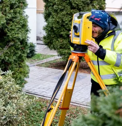
Topographic measurements are essential for any construction project or urban development. Our team provides comprehensive solutions tailored to the specific needs of each client, ensuring accuracy and professionalism in every stage of the process.
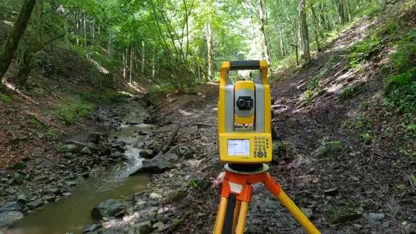
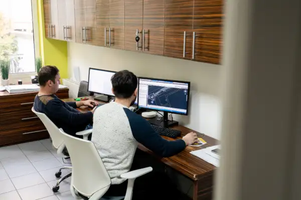
Land Registration

Land Registration

  • Land Registration: We perform land registrations for the official recording of properties, essential for property legalization.
  • Layout: We execute precise layouts for construction works, ensuring correct positioning according to the project.
  • Consolidation: We offer land consolidation services to integrate parcels into larger units, in accordance with the law.
  • Subdivision: We conduct property subdivision for dividing land into parcels, as required.
  • Property Data Update: We update information in cadastral registers to ensure the accuracy of property data.
  • Apartment Registration: We facilitate the registration of multi-family property units.
  • Repositioning: We carry out repositioning to correct the placement of properties.
  • Boundary Identification: We provide identification of property boundaries and points of interest to clarify property rights.

Site Plans (PAC)

  • Site Plans (PAC): We develop plans that reflect the terrain conditions, useful for design and authorization.
  • Volume Calculation: We perform volume calculations to evaluate material requirements for construction works.
  • Urban Planning Documents (PUG, PUZ, PUD): We provide support for the development of Urban Development Plans (PUG), Urban Zoning Plans (PUZ), and Detailed Urban Plans (PUD), ensuring compliance with urban planning regulations.
  • Layout: We execute precise layouts for construction works, guaranteeing correct project implementation.
  • Orthophoto Plans: We produce detailed orthophoto plans for land analyses and design.
  • Scanning: We use advanced scanning technology to obtain precise data about terrain and structures.
  • Lidar Measurements: We perform Lidar measurements for accurate digital terrain models, essential for planning large projects.
Site Plans (PAC)

Portofolio specialized surveying measurements